
Neighborhood guide
South Allentown, PA 18103
A reference guide to the residential area on Allentown's south side: where it sits, how it connects to the rest of the Lehigh Valley, its parks and history, the school district that serves it, and places to eat nearby.
Where it sits
The south side of Allentown
This guide describes South Allentown as neutral reference information, gathering what is already covered on the site's neighborhood page and adding facts from public transit, park, and municipal sources. It is written to help a buyer understand the geography and the amenities, not to characterize the people who live here.
South Allentown is the residential area on Allentown's south side, in the 18103 ZIP code. It borders Center City Allentown to the north and meets the wooded ridge of South Mountain to the south. The housing stock is largely made up of single and twin homes built in the mid-1900s, set along tree-shaded streets, and the neighborhood is directly adjacent to the downtown core.
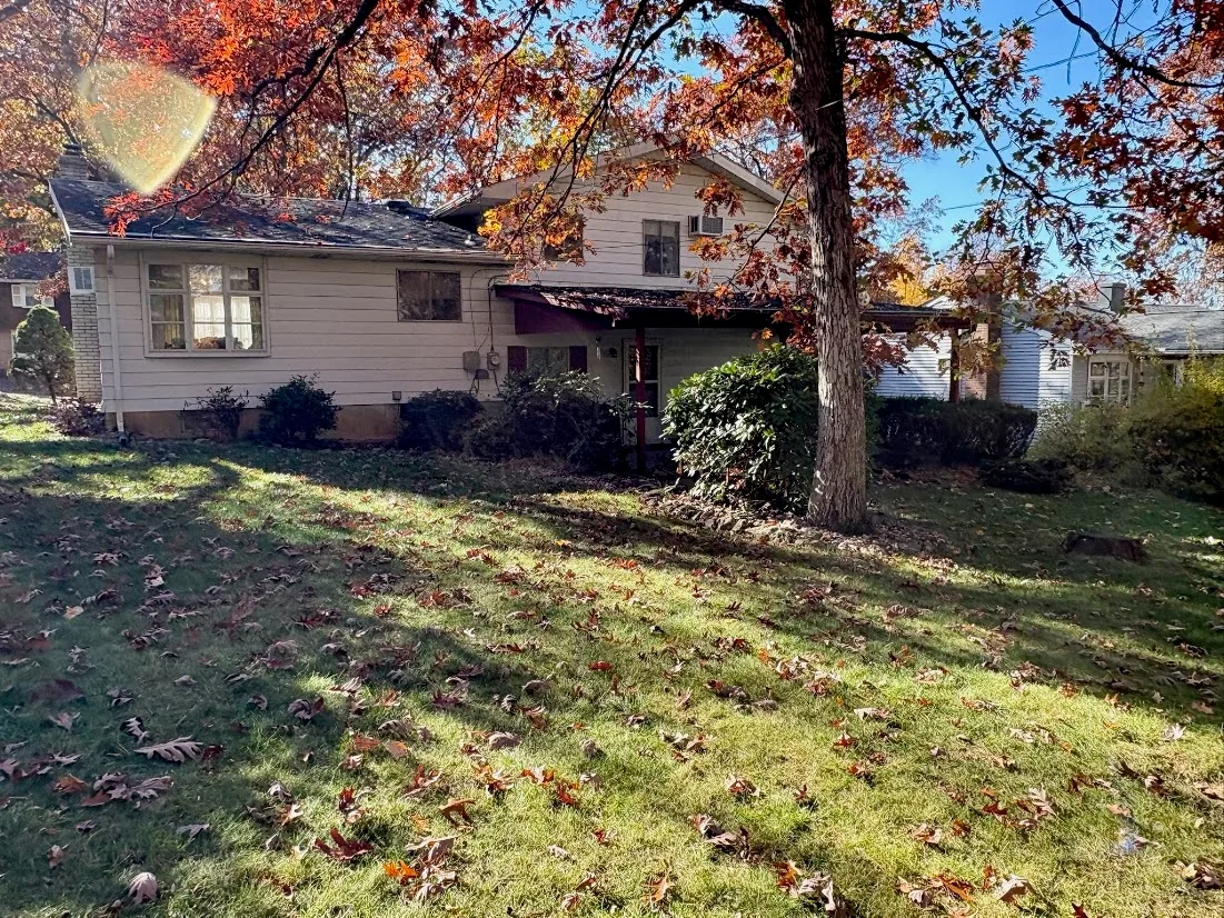
2523 S Church St sits inside this area on a wooded lot with mature trees, landscaping, and scenic city views, which puts the property's setting in context for anyone touring the home.
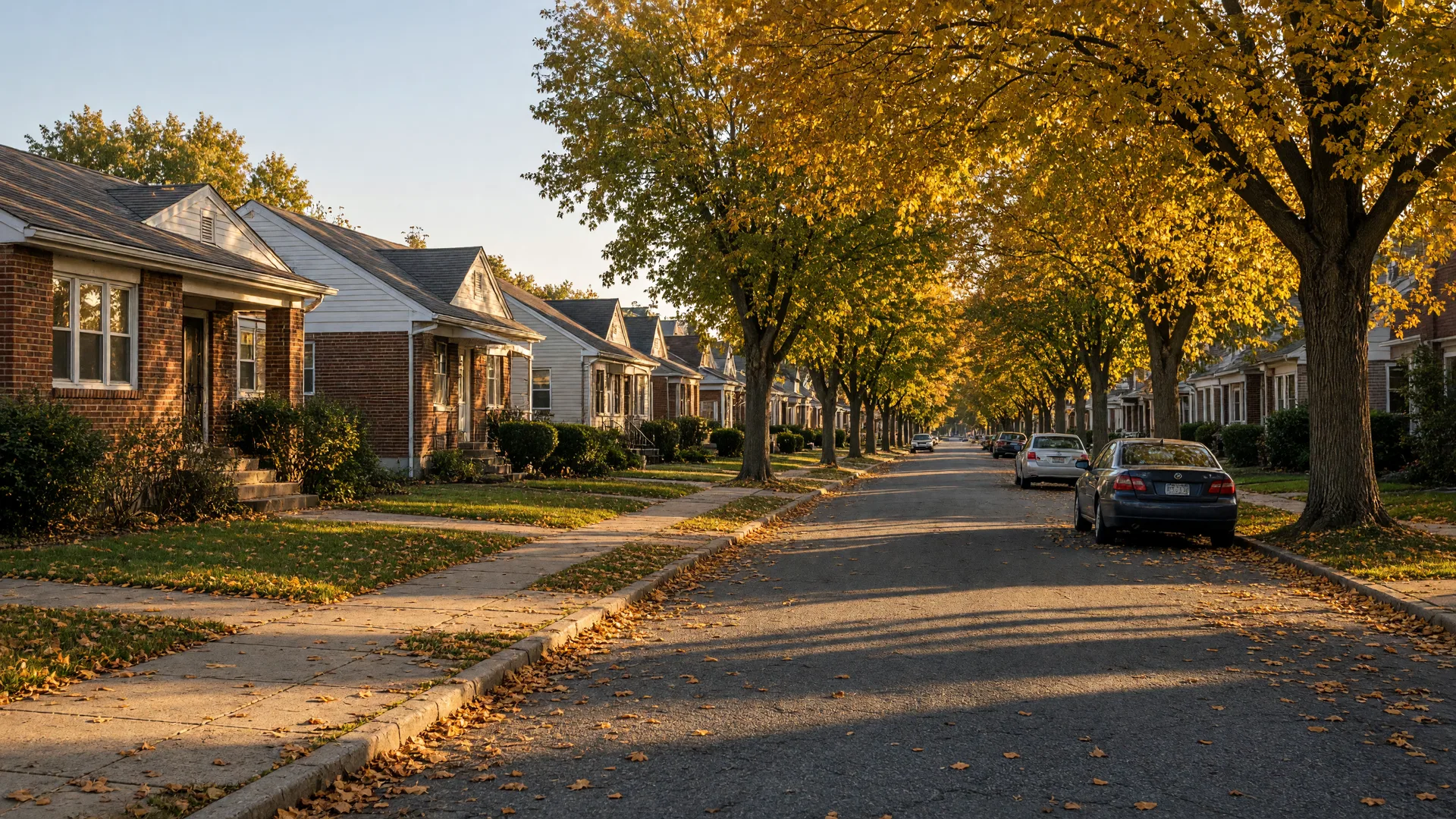
Street scene near South Allentown (illustrative).
- City
- Allentown, PA
- ZIP code
- 18103
- County
- Lehigh County
- School district
- Allentown School District
- Transit
- LANTA bus service
- Interstate access
- I-78
Getting around
Transit and roads
South Allentown is served by LANTA, the Lehigh and Northampton Transportation Authority, which runs the Lehigh Valley's public bus system. Routes along Emaus Avenue and 4th Street connect the neighborhood to the Allentown Transportation Center in Center City, where riders can transfer to the rest of the network.
Public bus service
LANTA Route 104 runs through South Allentown along Emaus Avenue and 4th Street and continues to the Allentown Transportation Center at 110 N 6th Street. Route 103 serves Lehigh Valley International Airport through its airport transit center.
LANTA routes and schedulesHighways and the airport
Lehigh Street is the main arterial linking Emmaus and Allentown through South Allentown. I-78 runs east-west along the southern edge of the city, and Pennsylvania Route 309 is nearby. Lehigh Valley International Airport sits northeast of the city, a short drive from the south side.
< 30 min
commute for most South Allentown residents
< 15 min
for roughly a quarter of the area
~21 min
average commute across Allentown
Commute figures are carried over from the site's neighborhood page. Travel times vary with route, time of day, and destination.
Outdoors
Parks and the mountain
The creek corridor to the west and the ridge to the south give the south side its outdoor amenities. Each of these is a public space open to residents of any part of the city.
Lehigh Parkway
A 629-acre public park following Little Lehigh Creek, with more than 7 miles of trails, bridle paths, fishing, a disc golf course, and the Lil-Le-Hi Trout Nursery. The parkway also holds the Bogert Covered Bridge and the Bogert Homestead, a cabin built in 1741 and considered the oldest structure in Allentown.
About Lehigh ParkwayMalcolm Gross Rose Garden
The Allentown Rose Gardens sit along Parkway Boulevard. The garden was conceived in 1929 by Mayor Malcolm Gross and opened to the public in May 1933, and it holds more than 4,000 rose bushes.
See the rose gardenSouth Mountain
The ridge that frames the neighborhood from the south, with the South Mountain Preserve, overlooks, and Big Rock Park, whose main feature is the roughly 40-foot Bauer Rock.
South Mountain guideA working history
The industry that shaped the south side
The south side began as an industrial district in the 1860s. The Lehigh Iron Company launched the area's industrial era in 1868, and in 1927 Mack Trucks built its 5-C plant here on former farmland. Today the Mack Trucks Historical Museum on Lehigh Parkway South tells that story.
Visit the Mack Trucks museumOn the calendar nearby
- 1741 The Bogert Homestead, a stone cabin in Lehigh Parkway considered the oldest structure in Allentown, is built.
- 1868 The Lehigh Iron Company begins the south side industrial era.
- 1927 Mack Trucks builds its 5-C plant on former farmland.
- 1933 The Allentown Rose Gardens open to the public in May.
Schools
Allentown School District
Public schools serving this part of South Allentown are operated by the Allentown School District. The feeder pattern runs from Hiram W. Dodd Elementary, which sits on S Church Street itself, through South Mountain Middle School and on to William Allen High School.
School assignments can change, so confirm the exact boundary for a specific address on the district's School Boundaries page before making a decision. Families may also apply to other district programs and to charter or private schools; the district is the source for official enrollment information.
Check school boundariesHiram W. Dodd Elementary School
1944 S Church St, Allentown
South Mountain Middle School
Serves grades six through eight
William Allen High School
Allentown School District high school
Around the corner
Places to eat nearby
Real restaurants around 18103, with their own websites and addresses.
Sunrise Diner
1401 S 4th St, Allentown
A South Allentown classic for breakfast and comfort food.
South Side Pizza
704 W Emaus Ave, Allentown
Neighborhood pizza and Italian favorites on Emaus Avenue.
El Tipico Restaurant
410 W Emaus Ave, Allentown
Local Salvadoran and Latin kitchen in South Allentown.
The Crust Pizzeria & Restaurant
3043 W Emaus Ave, Allentown
Pizza, pasta, and family dining on the west side of the neighborhood.
Big Woody's Sports Bar & Restaurant
1841 S 4th St, Allentown
A sports bar and grill a few minutes from home.
China Wok
2441 W Emaus Ave, Allentown
Chinese takeout right around the corner.
Come see it
The home this guide is written around: 2523 S Church St
A 3-bedroom, 1.5-bath home on a wooded lot with city views in South Allentown, listed by Tim Tepes.